Loading the nearest earthquake…
- Was it close?
- Was it strong?
- Was it deep?
- How did people feel it? Example
- Will there be more?
- Nobody can predict that. What you can see is what happened next:
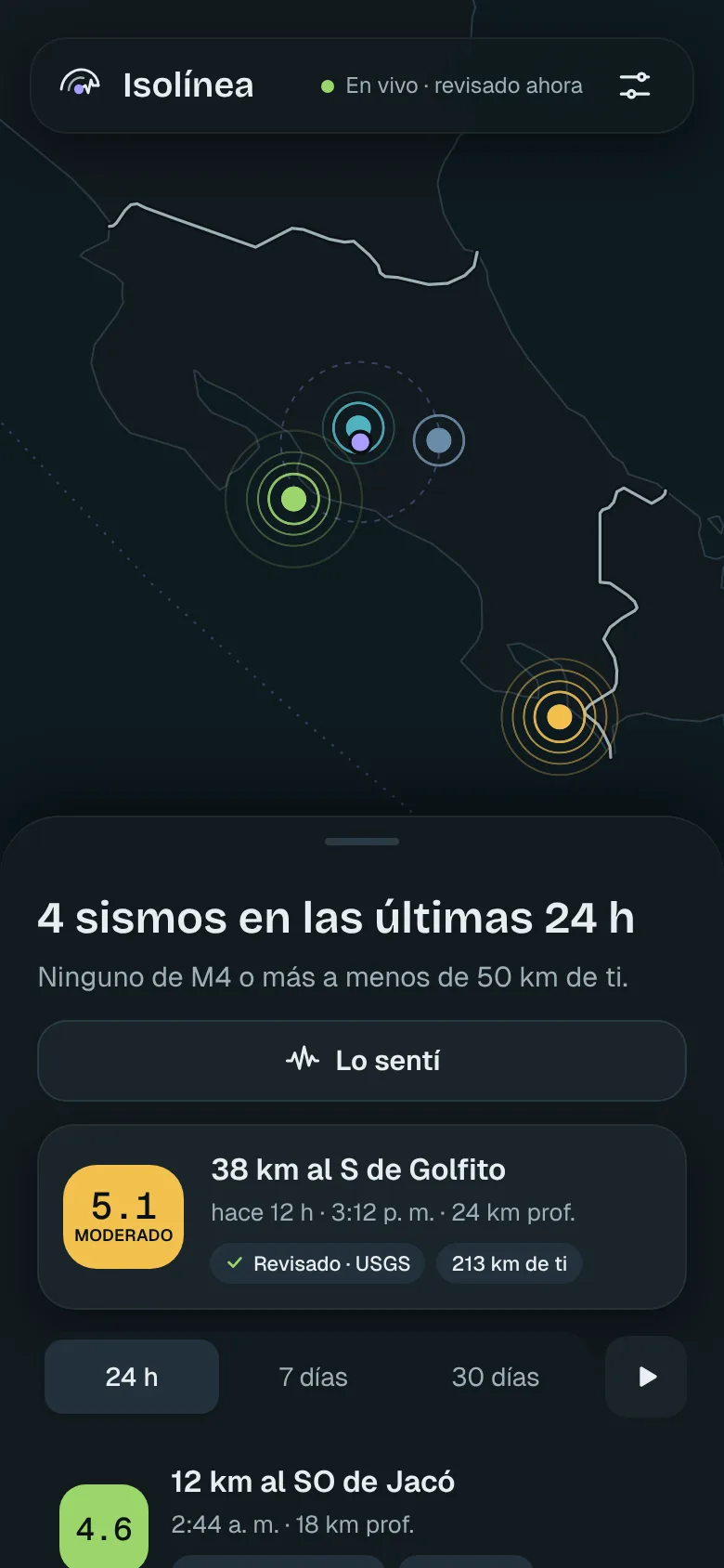
Isolínea answers those questions for your spot on the map as soon as USGS, EMSC and GEOFON publish the earthquake, and alerts you when one matters for your area.
Illustrative isoseismals around the week’s strongest earthquake. Each line joins places where it was felt with the same strength.
Pick a city and see how Isolínea would answer you with this week’s earthquake closest to it: how far away it was, how strong, how deep and what happened next.
Earthquakes from the past week, according to USGS. The “I felt it” percentages are an illustrative example.
An earthquake doesn’t end when the ground stops moving. Here’s the sequence, and where Isolínea fits in.
0 s
Drop, cover and hold on; your phone can wait. If your country or your phone has earthquake early warning, like OVSICORI in Costa Rica or Android’s earthquake alerts, that’s the one going off now.
Isolínea can’t arrive in time for this, and doesn’t try to. Keep your local alerts turned on.
+1 min
Anyone who felt it reports it with one tap: weak, moderate, strong or very strong. Together, those reports map where it was felt most, often before any agency publishes.
They’re isoseismals drawn by people, really.
5–20 min
USGS, EMSC and GEOFON work out the magnitude, location and depth. As soon as they publish, Isolínea puts it on the map and, if it meets what you chose for your point, alerts you.
Hours
After a big one, more follow. Isolínea connects them so you don’t have to guess: “Possible aftershock of yesterday’s M5.1”, “Followed by 4 smaller earthquakes”, “Swarm: 5 earthquakes in 48 h”.
Last 7 daysSample data
Swipe the map to travel around the world.
Loading this week’s earthquakes…
Each spike is an earthquake; its height, the magnitude. Hover or use the arrow keys to light it up on the map.
Equal Earth projection, which preserves the area of every region. Magnitude 4.5+ earthquakes published by USGS in the last 7 days.
| Magnitude | Place | When |
|---|
See them all in the app, with filters by area and magnitude.
We’d rather say it plainly, so you can trust what it does do.
To alert you, all we need is roughly where you are.
Three plans, like three scales of the same map.
Alerts for strong earthquakes are never charged for, on any plan.
One point on the map
US$0No account, no ads.
Several places, in any country
Your people, wherever they are.
US$2.99 a monthor US$19.99 a year
All your sites in one dashboard
from US$49a month, depending on the number of sites
What it gives you is what comes next: where it was, how strong, how far from you and whether it’s part of something bigger.